Role-based access control
Different workflows can be exposed to assessors, administrators, supervisors, and citizens with appropriate privileges.
 VeriflyAI Geospatial Intelligence
A product view centered on discoverability, GIS context, tax workflows, digital service delivery, and administration.
Capability set
Different workflows can be exposed to assessors, administrators, supervisors, and citizens with appropriate privileges.
Search by UID, owner details, assessment references, or location-based filters to find the correct parcel quickly.
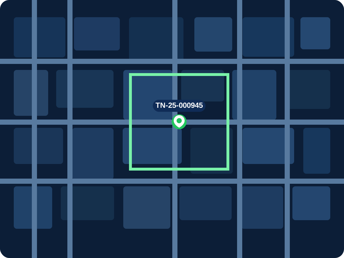
Interactive map views present property location, supporting detail, linked images, and parcel identifiers in one place.
Query workflows can be used to review taxation zones, compare cumulative tax exposure, and inspect property-level assessment logic.
Operations teams can isolate defaulters, track assessment status, and review the history of property-level tax records.
Owners can calculate dues, submit self-assessment details, pay tax online, and access generated receipts or notices.
Bills and demand notices can be viewed, downloaded, and printed directly from the portal against the relevant property record.
Dispute handling, property updates, and general redressal actions can be routed through structured digital modules.
Management reports and operational MIS views provide visibility into assessments, collections, exceptions, and coverage gaps.
Ready for a municipal rollout?