BeforeUnregistered parcel
Not in records. No tax collected.
 VeriflyAI Geospatial Intelligence
Detect unregistered properties, update records in real time, and maximize tax collection with satellite imagery, drone surveys, and AI-driven analytics.
Not in records. No tax collected.
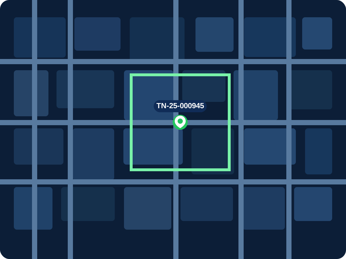
Detected. Verified. Added to tax rolls.
Built to help municipalities modernize property records and unlock revenue faster
 Municipal Revenue DepartmentsUrban Local BodiesSmart City ProgramsGIS Modernization TeamsProperty Tax Administrations
From legacy challenges to measurable impact
Faster data capture
More accurate records
More revenue detected
Up-to-date records
Interactive layer explorer
Built for trust. Built for government.
Seamless interoperability

The 2026 revenue modernization guide
Success story
Verifly has transformed how we identify, verify, and tax properties. The accuracy and speed are unmatched.
Additional Commissioner, Municipal Corporation
VeriflyAI Geospatial IntelligenceReady to modernize your city's property tax system?