Contact survey and record verification
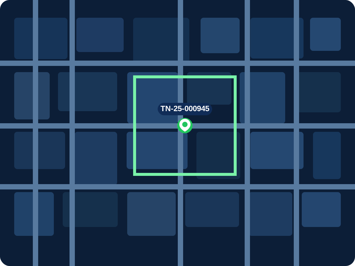
Existing holding data is checked against field findings so missing or inaccurate assessments can be identified before rollout.
 VeriflyAI Geospatial Intelligence
A structured implementation sequence for municipal teams to capture property intelligence, validate field conditions, and operationalize tax-ready records.
Process flow
Operational detail
Existing holding data is checked against field findings so missing or inaccurate assessments can be identified before rollout.
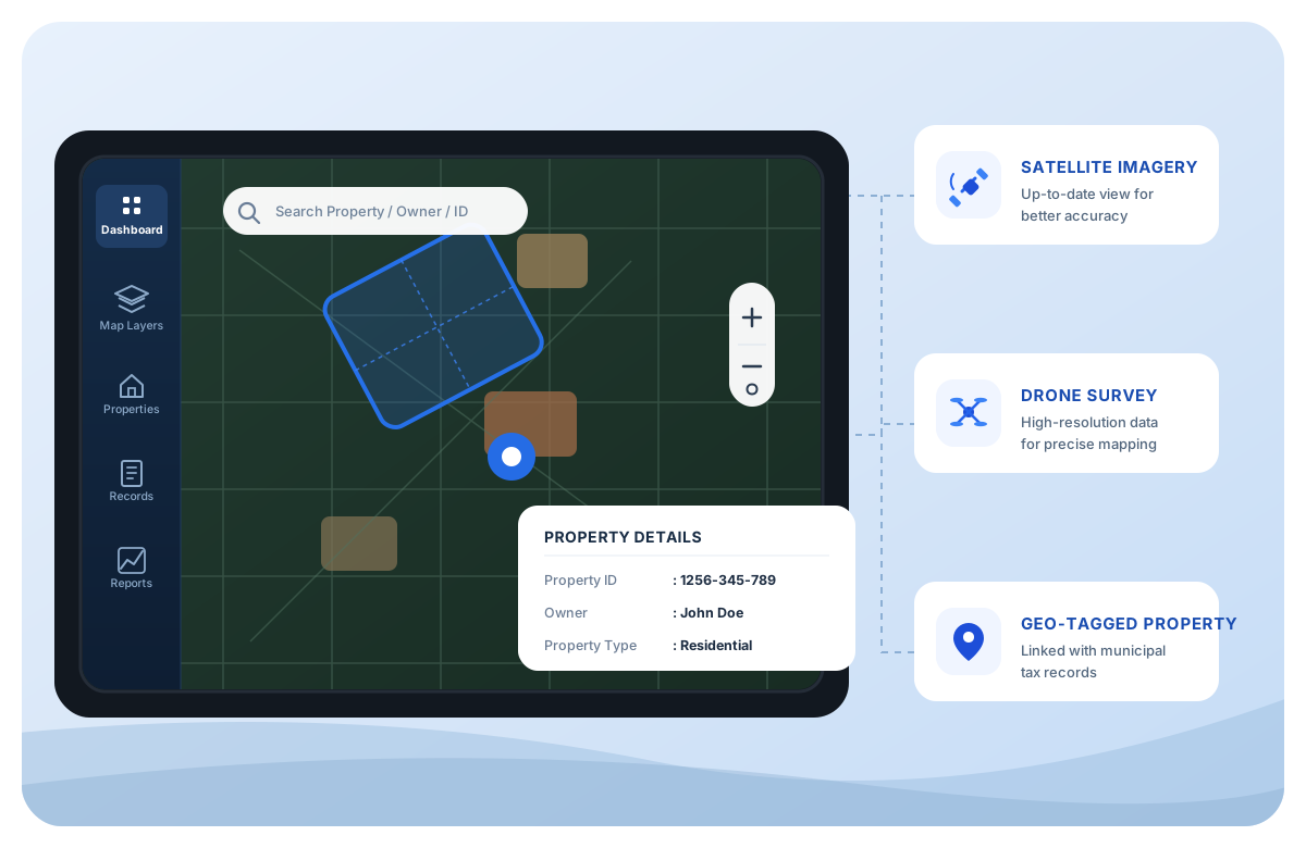
Every parcel can be tied to a digital photo set and a permanent UID, improving auditability during assessment and dispute review.
Legacy ULB records remain available as comparison attributes, making it easier to isolate under-assessed, omitted, or outdated entries.
Departments receive the mapped base and operational training needed to maintain updates after the initial modernization cycle.
Ready for a municipal rollout?